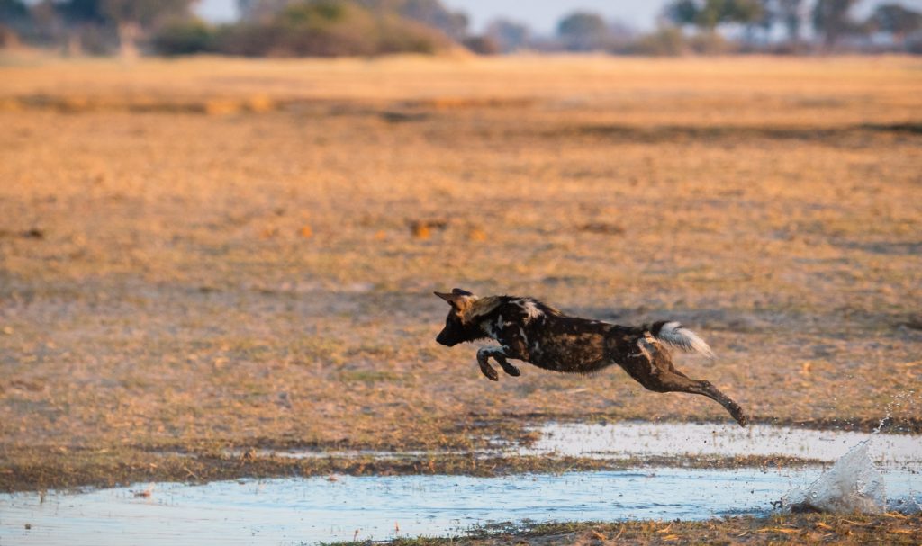
“…The scope of the workshop is to investigate several aspects of animal movement and spatial use and to relate them to newest challenges in wildlife management and conservation…”
10–15 January 2021
Faido, Ticino, Switzerland
Understanding how animals respond to human-induced degradation and fragmentation of suitable habitats is critical for developing appropriate management and conservation plans. New technologies have made it possible to collect animal location data and remotely sensed environmental data at finer spatial and temporal scales. This workshop will provide participants with a quantitative toolset to leverage these data sources so that they can address emerging questions in the field of animal movement ecology.
During day one, participants will learn how to source landscape information through freely available remote sensing imagery and to import, manipulate, and represent georeferenced environmental data in R. Environmental data may represent ecological (e.g. habitat types, topography) or human activities (e.g. landscape use, settlements distribution). The aim of day one is to give participants a toolset that enables them to obtain and prepare environmental information that can be used to understand and explain animal movement patterns and space use.
Day two will be dedicated to the decomposition of movement trajectories and characterization of movement modes and phases. Participants will be exposed to the concept of net-squared displacement, an analytical method used to classify movement trajectories into alternative modes such as sedentarism, nomadism, dispersal, and migration. These statistics can be fed into generalized linear mixed models to investigate the factors responsible for the emergence of such patterns.
During day three, participants will be exposed to methods commonly used to quantify animal home ranges; the pros and cons of these methods will also be discussed. Alternative methods such as minimal convex polygons, kernel density estimators, local convex hulls, and brownian bridges will be presented. Particular attention will be given to the temporal scale of the analysis and on the environmental and anthropogenic factors that influence home ranges.
During the next day, we will use presence/absence data to analyze habitat selection and create species distribution models. Participants will be exposed to the most common methods used to investigate habitat preferences such as resource-selection functions, step-selection functions and integrated step-selection functions. Assumptions and limitations of each method will be addressed.
Finally, during the last day, participants will discover how to apply what they learned during the first four days of the workshop to develop evidence-based recommendations for the management of their study subject. In particular, participants will learn how to create various connectivity maps. Connectivity between populations is one of the most important aspects in the management of wild population in human-dominated landscapes. Lastly, we will discuss new research avenues and research gaps that will need to be addressed in the future for the integration of the spatial dimension in the conservation and management of animal species.
For additional information and registration please contact Gabriele Cozzi at gabriele.cozzi@uzh.ch
This workshop is supported through funding by the UZH Graduate Campus
Please note: the date may be changed due to the current Corona virus situation

